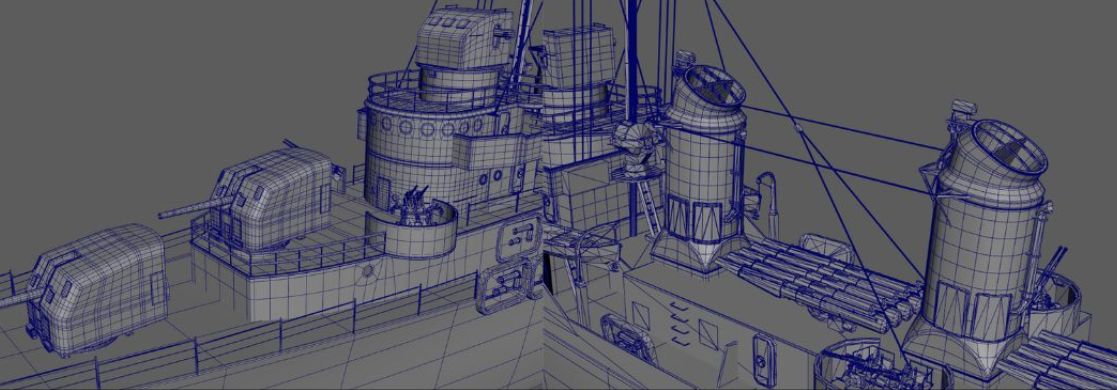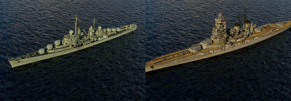
Constructing Landscapes
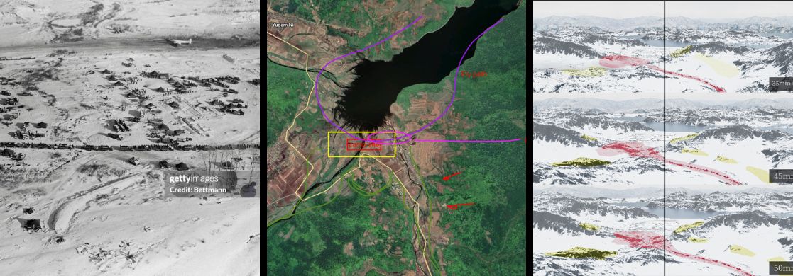
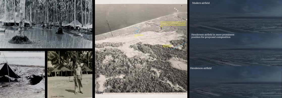
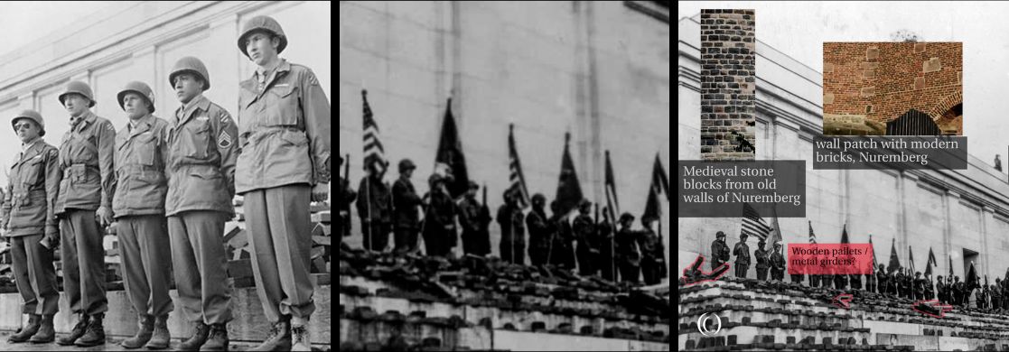
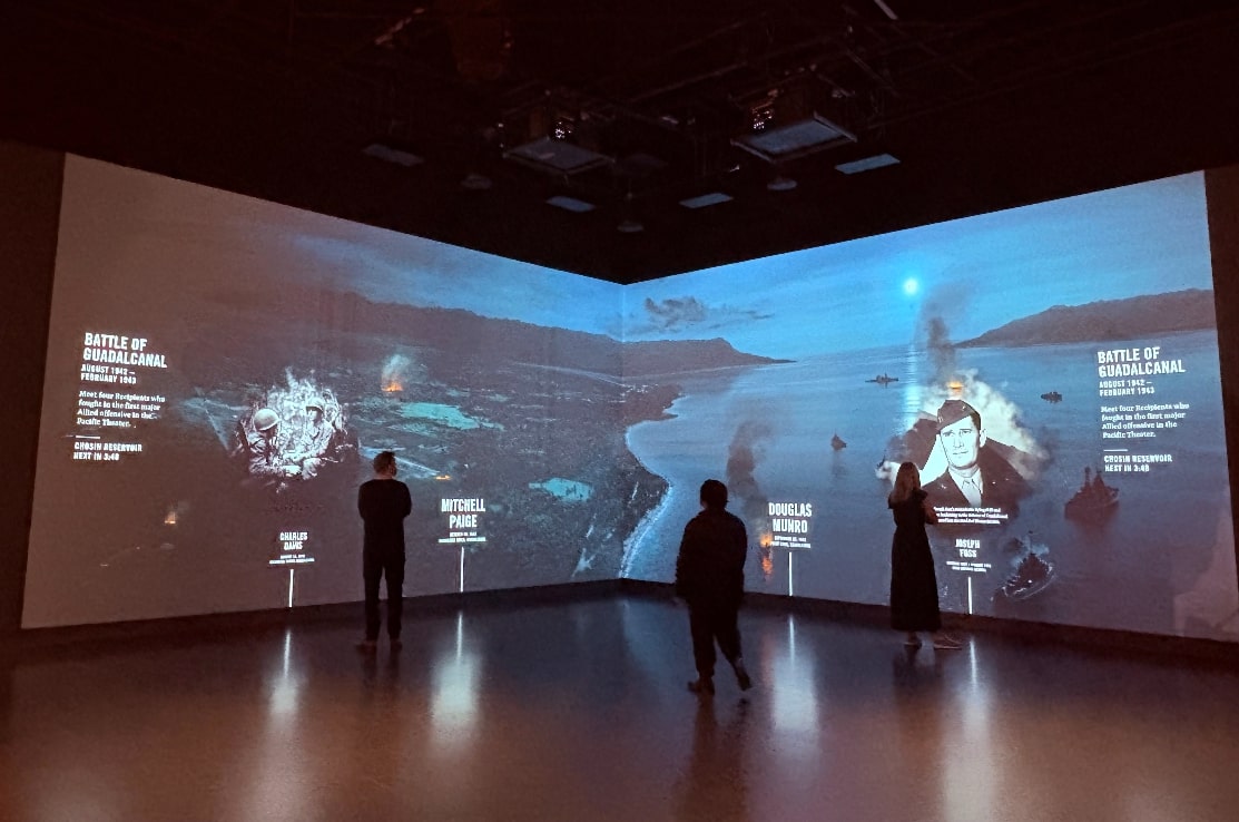
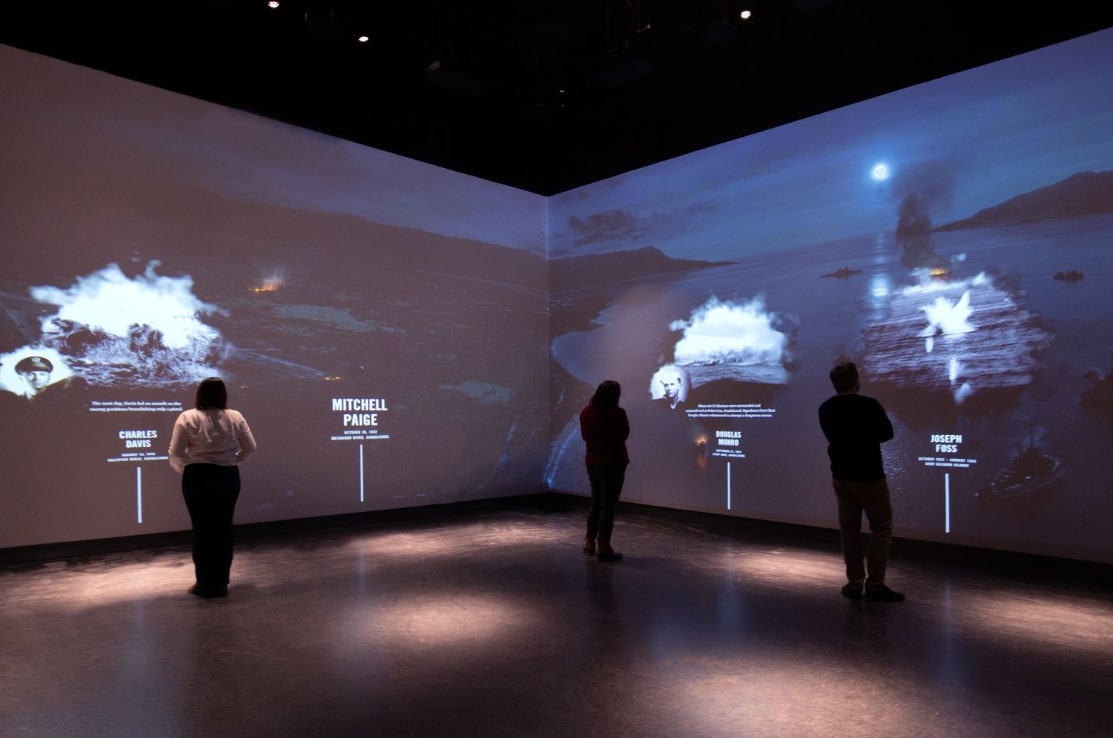
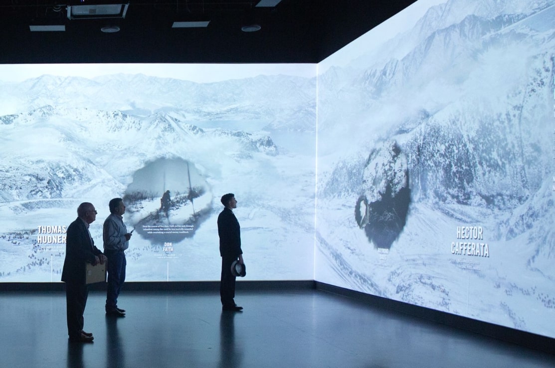
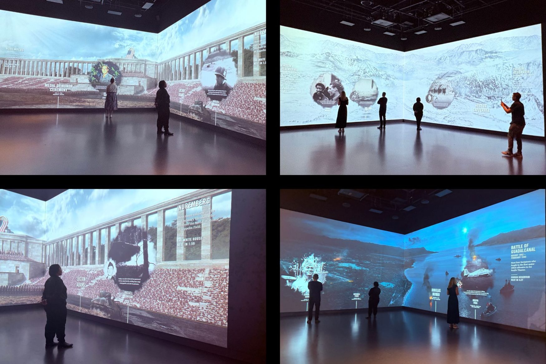
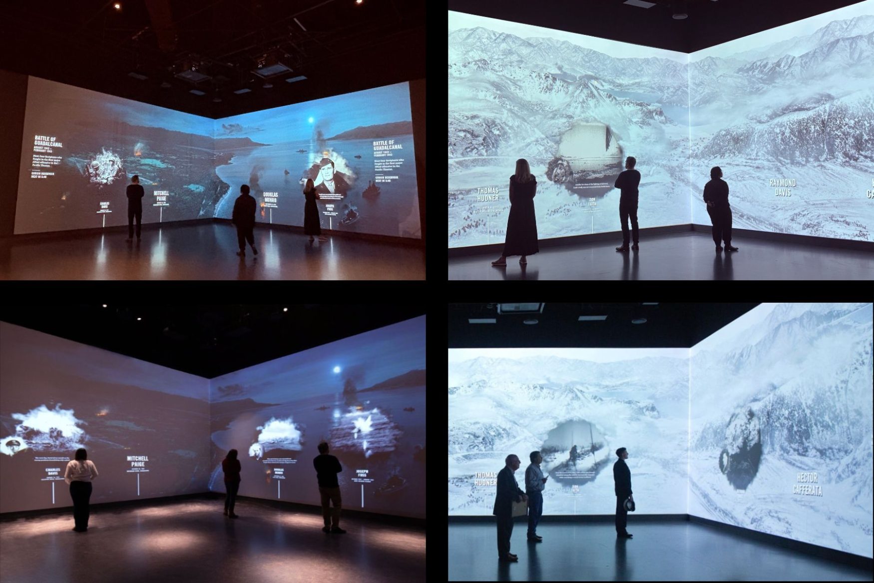
We used Google Earth cross-referenced with historical maps and photography to help accurately reconstruct landscape details, and determine optimal camera positions and angles for the scene of the Guadalcanal battle, a pivotal battle in the Pacific War. We mapped out battle formations between American and Chinese forces during the Battle of Chosin Reservoir, placing the ambush, American base, and aircraft flight paths with precision. For the Nuremberg Zeppelinfeld scene, we delved into the detail of the swastika emblem that adorned the grandstand and was famously blown up after Germany’s fall in WW2.